Geographic Visualization
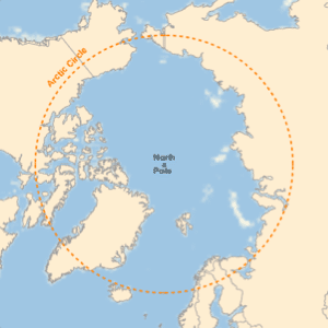
The Wolfram Language introduces GeoGraphics, an extension of its powerful graphical functionality to produce maps. GeoGraphics offers full automation and freedom to handle cartographic projections, choice of zoom (from the whole Earth down to meter scale), map styling (street maps, relief maps, ...), and much more. GeoGraphics introduces new geographical elements adapted to the surface of the Earth (like geodesics or rhumb lines for navigation) and has integrated access to the large corpus of geographical information in Wolfram|Alpha through the new Entity framework.
- Powerful, simple, unified approach to maps through the use of GeoGraphics, an extension of the successful Graphics paradigm in the Wolfram Language.
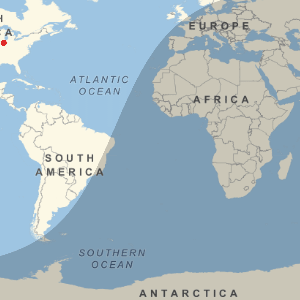
- New geographical primitives, like GeoPath (geodesics, rhumb lines, parallels, etc.), GeoDisk, and GeoVisibleRegion. Also new time-aware primitives like DayHemisphere and DayNightTerminator.
- Integration of the Wolfram Language Graphics capabilities, image processing, geodesy computations, statistical analysis, and access to the very large corpus of information in Wolfram|Alpha through the Entity framework.
- Support for standard cartographic projections and coordinate systems, both for spherical and ellipsoidal Earth models. Integrated and simultaneous use of lat, lon coordinates and projected coordinates.
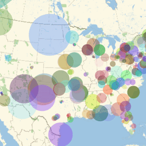
- Real-time retrieval of map backgrounds from the Wolfram|Alpha servers, with fully automated choice of coordinate ranges and zoom levels.
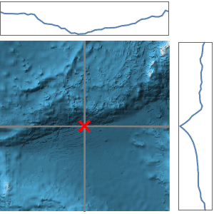
- Download elevation data for any region of the world or along any path, complementing the 2D GeoGraphics map representation. Create relief or contour maps based on elevation.
Related Examples
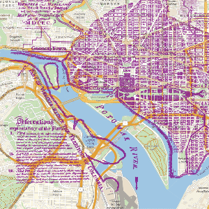
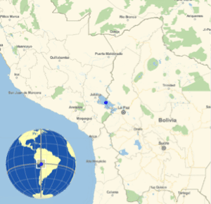 Show the Global Context of a Local Map »
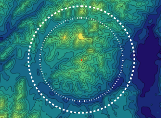
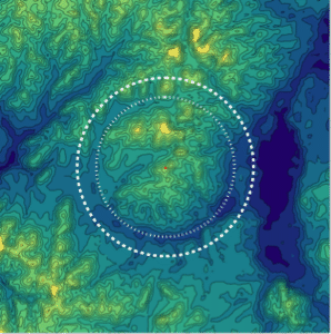 Map the Wembo-Nyama Ring Structure »
 Show Map Distortion with Tissot's Indicatrix »
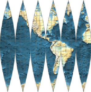
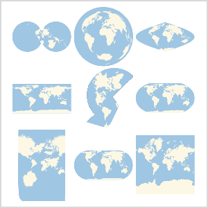 Use Any Map Projection »
 Make a Map That Wraps a Globe »
 Make a Cubic Earth »
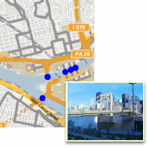
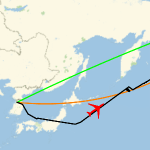
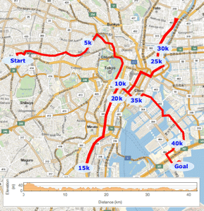 Plot the Course of the Tokyo Marathon »
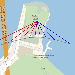 Plot the Paths of Shadows Cast by the Sun »
Related FunctionsDayHemisphere  DayNightTerminator Entity EntityValue GeoBackground GeoBoundingBox GeoBounds GeoCenter GeoCircle GeoDisk GeoGraphics GeoGridLines GeoMarker GeoModel GeoPath GeoProjection GeoRange GeoRangePadding GeoScaleBar GeoVisibleRegion GeoVisibleRegionBoundary GeoZoomLevel NightHemisphere
DayNightTerminator Entity EntityValue GeoBackground GeoBoundingBox GeoBounds GeoCenter GeoCircle GeoDisk GeoGraphics GeoGridLines GeoMarker GeoModel GeoPath GeoProjection GeoRange GeoRangePadding GeoScaleBar GeoVisibleRegion GeoVisibleRegionBoundary GeoZoomLevel NightHemisphereRelated Guides
See Also New in 10


