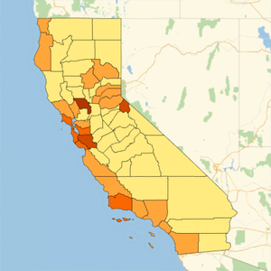
Explore Gerrymandering in US Congressional Districts
Utilizing built-in demographic data for "USCongressionalDistrict" entities, it is possible to visualize evidence of race-based or other gerrymandering of congressional districts in the United States.
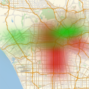
Using GeoEntities, find all congressional districts in Louisiana and construct properties for white, black and Asian populations.
Retrieve data for all Louisiana congressional districts.
Find the total population for each race.
Transpose the data to group by race.
Use RandomGeoPosition to generate randomly distributed points within each district, where each point represents 100 people of a given race.
Plot the results, observing the unusually high black population density in Louisiana's 2nd district.