Geo Vectorial Data
Together with positional and scalar data, the Wolfram Language now supports geo vectorial data natively, in multiple frames, automatically taking care of any associated geometric transformations. This allows working with velocity and wind vectors, the gravitational and magnetic fields and many other important vectorial magnitudes.
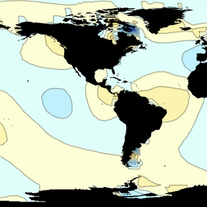
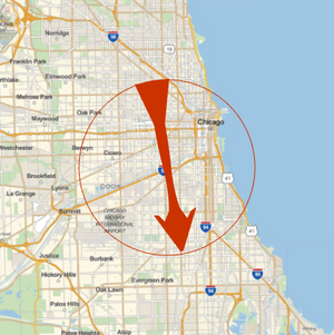
Download wind vector information for a given location at a given date. The result reports location, wind speed and wind direction.
Represent the wind direction on a map.
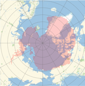
Represent the same local wind vector in any map, with any geo projection.