| New in Wolfram Mathematica 6: Load-on-Demand Curated Data | ◄ previous | next ► |
Plot Geographical Data with Map Projections
Mathematica 6 lets you plot geographical data with built-in country information and a wide range of map projections.

In[1]:= | 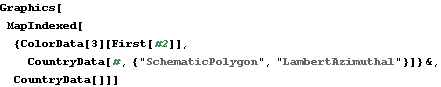 Graphics[MapIndexed[{ColorData[3][First[#2]],
CountryData[#, {"SchematicPolygon", "LambertAzimuthal"}]} &,
CountryData[]]] |
Out[1]= |  |