Wolfram Language

  • High-resolution geo imagery. »
  • Improved resolution of geo elevation data. »
  • Updated tile rendering of OpenStreetMap data. »
  • Improved handling and estimation of map ranges. »
  • Compute ocean tide elevations at any location and time. »
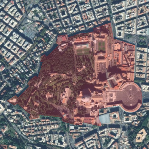
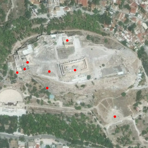
  • New extraction methods for GeoPosition and other geo objects. »
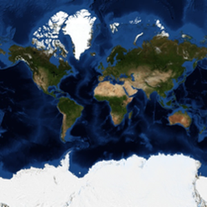
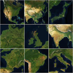
  • Work with geo vectorial magnitudes, in different frames. »
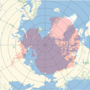
  • Analyze distance, area and angular distortion of geo projections. »
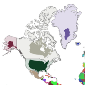
  • Generate random geo positions, uniformly distributed in any region. »

Related Examples

Related Functions

Related Guides

See Also New in 12

de es fr ja ko pt-br zh