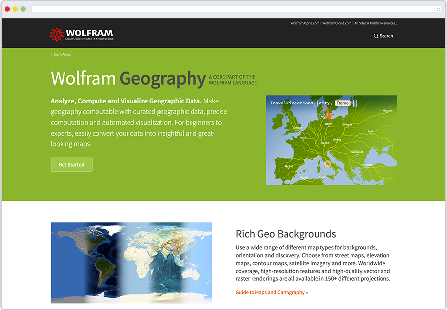
Geography & GIS
The Wolfram Language unites data, analytics and visualization for geography and geographic information systems (GIS).
Importing Built-in Data
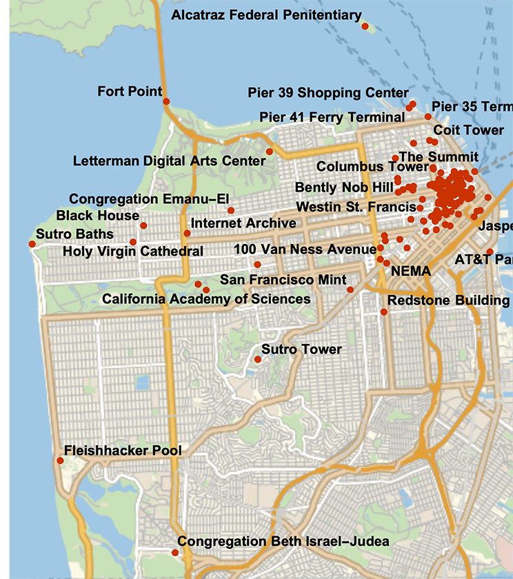
The first step in geography-related projects is often to get data. The Wolfram Language enables you to easily access millions of pieces of data using entities, like in this example that returns a list of notable buildings in San Francisco and then plots the location of each building.
Importing External Data
Already have data? Hundreds of file formats can be imported with a single line of code using the Import function.
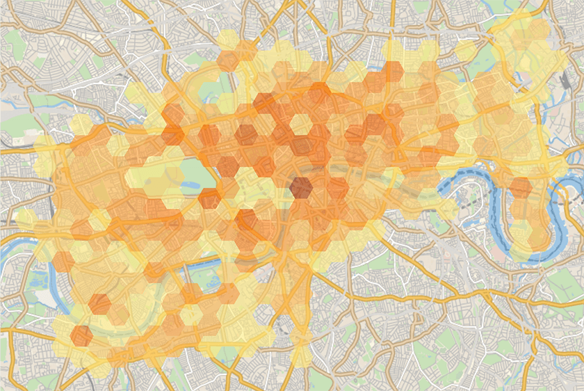
The Wolfram Language makes it easy to connect to external services. In this example, data is accessed via an API about the location of bikeshares in London:
Geographic Analysis
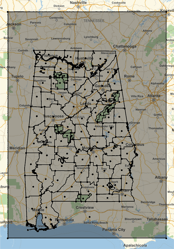
Once you have formatted data, you'll want to perform some kind of analysis, whether you are trying to find distances between areas, computing densities of data in a region or trying to find clusters where events occur. In this example, the coordinates for all of the United States' respective state capitals are programmatically fetched and the shortest path through each capital is computed and visualized.
Geographic Visualization
The end result of many geography-related projects is a map. With the Wolfram Language, you have many aesthetic and functional options for mapmaking, including interactive features and more.
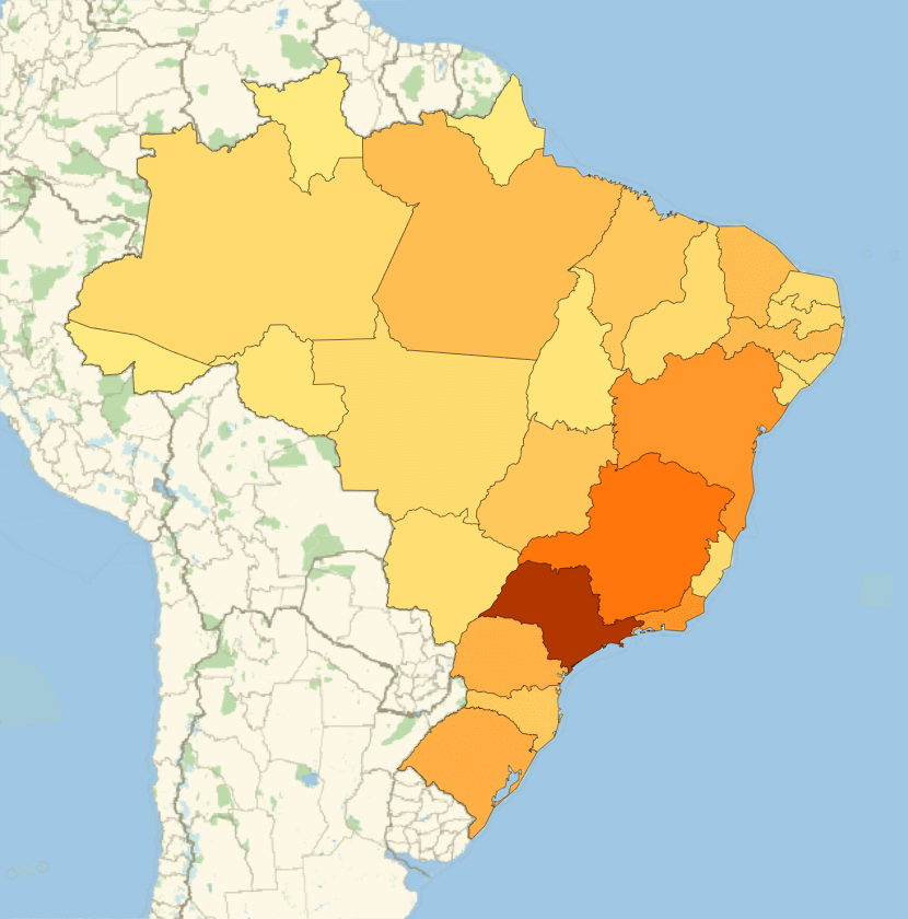
In this example, each state in Brazil is colored according to its population, creating a population heat map:
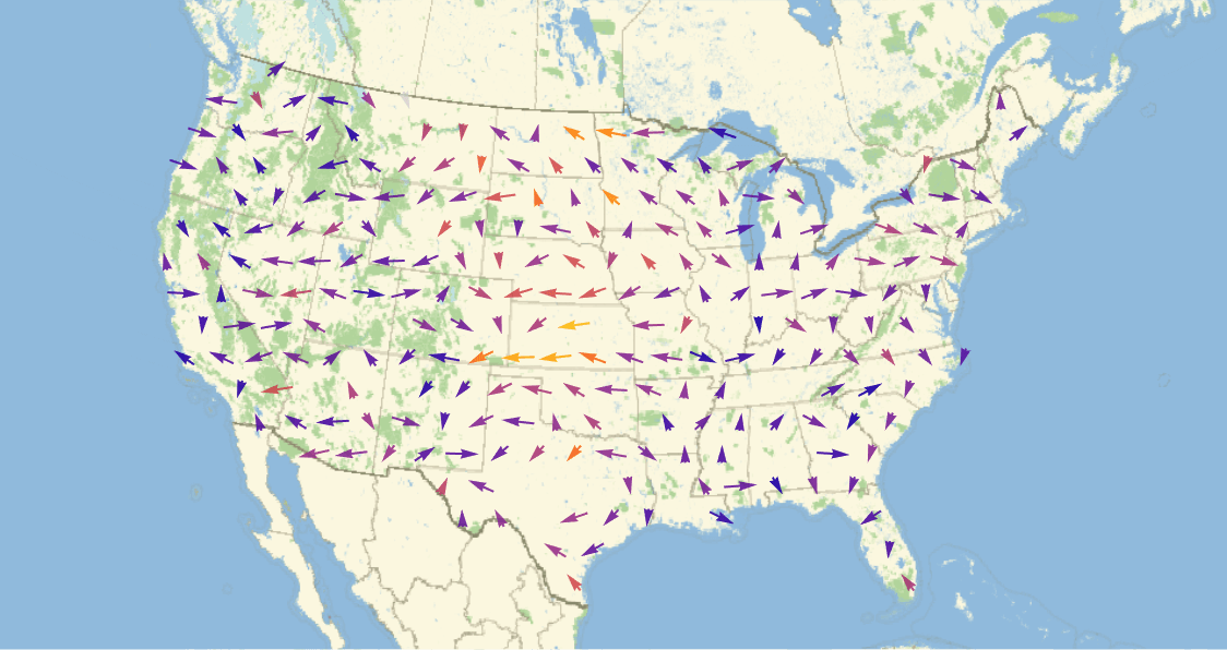
In this example, wind data is retrieved for the entire United States, and the direction and magnitude of the wind data is represented as arrows with a vector plot:

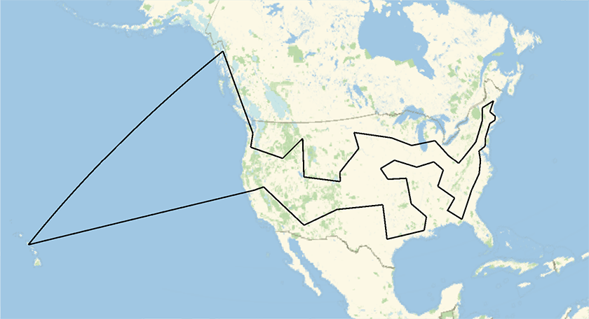
The Wolfram Language contains more than a dozen unique ways to visualize geographic data, so no matter what your project is, you can create insightful and impactful visualizations.
Vector Values at Locations
Location Intensity of Points
Location Connectivity
Scalar Values at Locations
Multidimensional Data at Locations
Learning Resources
Learning Paths
 Try it now, learn later
Want to just try it out? Get a feel for what the Wolfram Language is like while trying out real code samples focused on geography and geographic information systems.
 Get certified for free in the Wolfram Language
We've made it easy to learn the Wolfram Language your way. Try our free interactive course and earn a certification.
Go Further with Geographic Data
If you want to see more of what Wolfram offers for geography and GIS, head to the Wolfram Geography page. You'll find:
- A complete overview
- Documentation and specialized functions
- Online classes and additional resources
Recommended Product
For Those Interested in Geography and GIS, We Recommend:

Our cloud-desktop hybrid product, Wolfram|One, is our recommended environment for those interested in geography and GIS: it has an award-winning intuitive notebook interface, seamless functionality with the cloud and is the complete Wolfram experience.
Explore Other Topics
Data Science and Report Generation

Explore tools for analysis, automatically import data, deploy cloud dashboards and more.
Machine Learning

Explore neural networks, automated machine learning, classifiers and more.
Blockchain and Cryptocurrencies

Explore blockchains, chart cryptocurrencies, use cryptographic functions and more.
Build and Deploy Web Applications

Explore easily deployed web applications, turn your code into real websites and more.
Financial Technology

Explore financial data, make charts, write prediction functions and more.
Geography and GIS

Explore various map-making methods, superimpose data, create visualizations and more.