Visualize Historical Battles and Territorial Changes
You can combine "MilitaryConflict" and "HistoricalCountry" entities to visualize locations of battles and territorial changes over the course of a given large-scale conflict.
Retrieve the main actors and the start and end dates for a conflict.
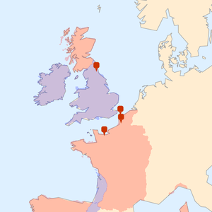
Retrieve all battles associated with the primary conflict for which geo positions are available.
Create geo markers with notes on the outcome of each battle.
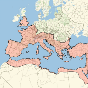
Find country polygons for each of the main actors, for years in which any of these battles occurred.
Generate a map showing battles and aggregate territory claimed by each side for a single year.
show complete Wolfram Language input