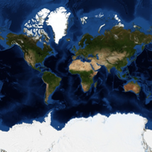
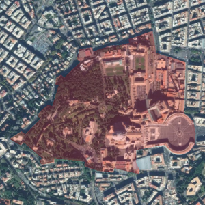
Maps of Vatican City
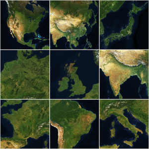
The function GeoGraphics can use the images provided by the function GeoImage, providing easy and flexible ways of combining raster and vector data.
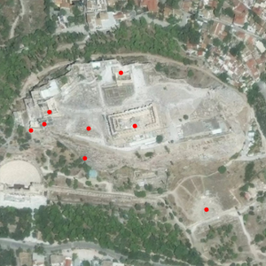
Overlay a red polygon over a map of Vatican City.
Use satellite imagery from the DigitalGlobe provider.
Using the Wolfram Coordinates tool, select the precise location of the obelisk and construct an image that centers around it.