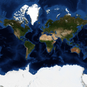
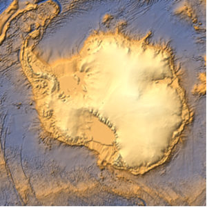
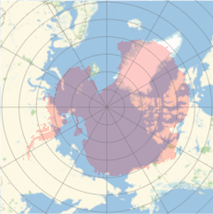
Polar Elevation Profile for Antarctica
Version 12 has extended the power of the function GeoElevationData in multiple ways. In particular, it is now possible to obtain elevation data in any geo projection, which can then be processed and visualized with other functions of the Wolfram Language.
Download geo elevation data in an azimuthal projection.
Display the data with 2D visualization functions.
Draw a 3D profile (vertical axis has been exaggerated).