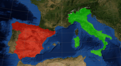
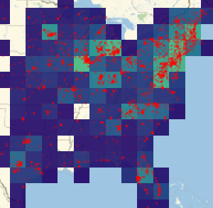
지도의 통합 및 편집
Show를 사용하여 지도를 통합하고 그 옵션을 편집합니다.
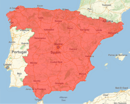
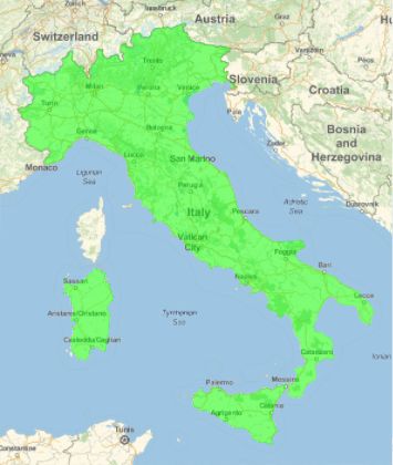
컬러 폴리곤을 포함한 2개의 지도를 가져옵니다.
In[1]:=
spain = GeoGraphics[{GeoStyling[Red, Opacity[0.5]],
   Polygon[Entity["Country", "Spain"]]}]
Out[1]=
In[2]:=
italy = GeoGraphics[{GeoStyling[Green, Opacity[0.5]],
   Polygon[Entity["Country", "Italy"]]}]
Out[2]=
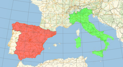
지도를 통합하고 그 결과를 편집합니다. 여기에서는 측지 격자 선을 추가합니다.
In[3]:=
Show[spain, italy, GeoGridLines -> Automatic]Out[3]=
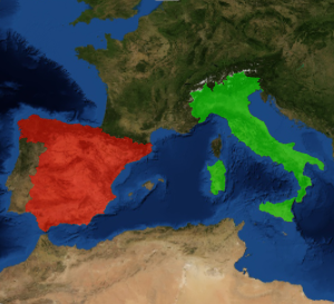
더 나아가서 지도를 다시 편집합니다. 이번에는 지리적 배경의 스타일을 변경합니다.
In[4]:=
Show[spain, italy, GeoGridLines -> Automatic];
Show[%, GeoBackground -> "Satellite"]
Out[4]=