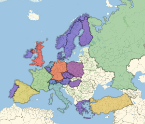
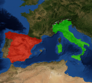
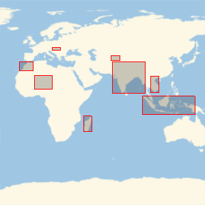
이 경계 박스를 가지는 나라는?
무작위로 선택한 10개국의 주위에 위도 경도의 사각형을 그립니다. 실제 모양을 보지 않고 얼마나 많은 나라를 식별할 수 있는지 알아봅니다.
모든 국가의 목록을 가져옵니다.
In[1]:=
Length[countries = EntityList[EntityClass["Country", All]]]Out[1]=
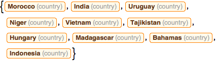
그 중에서 10개국을 무작위로 선택하고, 국가명은 가려둡니다.
In[2]:=
sample10 = RandomSample[countries, 10];이러한 지리적 경계 박스를 가지는 나라는 어디일까요?
In[3]:=
GeoGraphics[{EdgeForm[Red], GeoBoundsRegion /@ sample10},
 GeoBackground -> "StreetMapNoLabels", GeoRange -> "World"]
Out[3]=
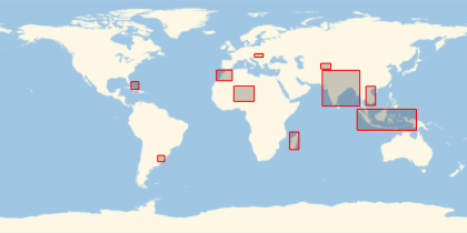
여기를 클릭하여 얼마나 많은 국가를 분간하였는지 알아봅니다.
전체 Wolfram 언어 입력 표시하기