Escolha seu próprio servidor de divisões
GeoGraphics usa de forma padrão, o servidor de mapas com divisão quadricular da Wolfram.
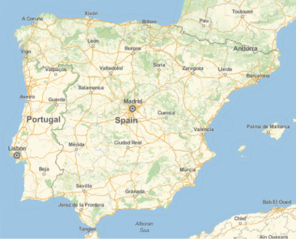
In[1]:=
GeoGraphics[Entity["Country", "Spain"]]Out[1]=
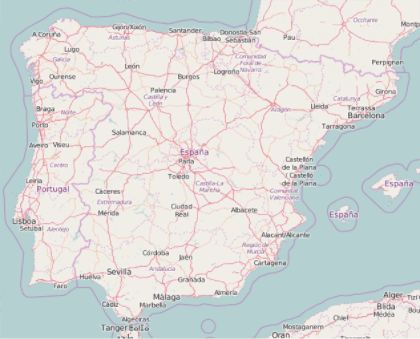
Use um servidor de divisões alternativo.
In[2]:=
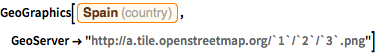
GeoGraphics[Entity["Country", "Spain"],
 GeoServer -> "http://a.tile.openstreetmap.org/`1`/`2`/`3`.png"]
Out[2]=
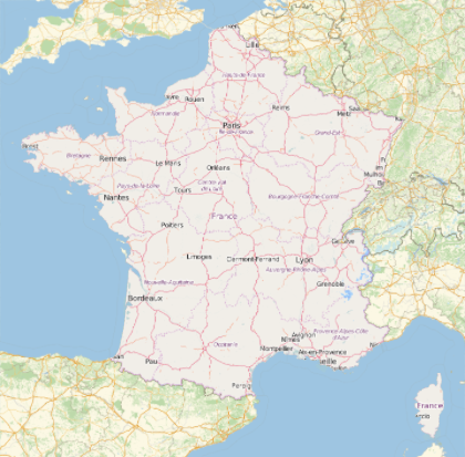
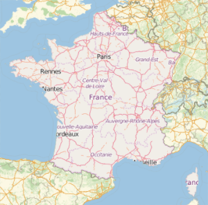
Use servidores diferentes de divisões em diferentes partes do mapa.
In[3]:=
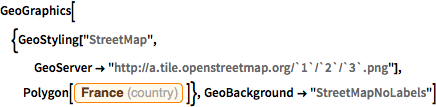
GeoGraphics[{GeoStyling["StreetMap",
   GeoServer -> "http://a.tile.openstreetmap.org/`1`/`2`/`3`.png"],
  Polygon[Entity["Country", "France"]]},
 GeoBackground -> "StreetMapNoLabels"]
Out[3]=