"GeographicRegion" 다각형
새로운 지리 실체 영역 "GeographicRegion"은 대륙 전체와 다른 종류의 지리적 실체를 기술할 수 있습니다.
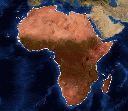
지리적 영역 실체로서 아프리카 대륙 전체를 나타냅니다.
In[1]:=
africa = EntityValue[Entity["GeographicRegion", "Africa"],
  EntityProperty["GeographicRegion", "Polygon"]]
Out[1]=

In[2]:=
GeoGraphics[{EdgeForm[White], FaceForm[Red], africa},
 GeoBackground -> "Satellite"]
Out[2]=

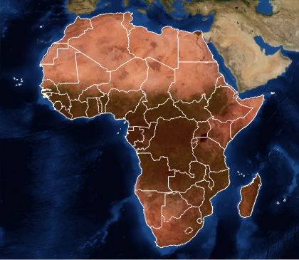
모든 아프리카 국가의 폴리곤도 얻을 수 있습니다.
In[3]:=

africacountries =
  EntityValue[Entity["GeographicRegion", "Africa"],
   EntityProperty["GeographicRegion", "PolygonCountryBoundaries"]];
In[4]:=
GeoGraphics[{EdgeForm[White], FaceForm[Red], africacountries},
 GeoBackground -> "Satellite"]
Out[4]=


