달의 새로운 타일
Wolfram 언어 버전 11은 줌 레벨 1부터 9까지의 달의 개선된 타일 세트를 추가하였습니다.
이것은 아폴로 15호의 착륙 지점입니다.
In[1]:=
landing =
 Entity["MannedSpaceMission", "Apollo15"][
  EntityProperty["MannedSpaceMission", "LandingPosition"]]
Out[1]=
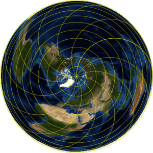
정향 도법의 달 지도의 바깥쪽에 지리적 마커를 플롯합니다.
In[2]:=
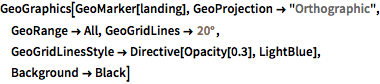
GeoGraphics[GeoMarker[landing], GeoProjection -> "Orthographic",
 GeoRange -> All, GeoGridLines -> Quantity[20, "AngularDegrees"],
 GeoGridLinesStyle -> Directive[Opacity[0.3], LightBlue],
 Background -> Black]
Out[2]=
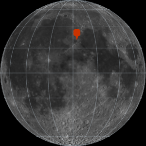
착륙 지점은 비의 바다(Mare Imbrium)의 동쪽 부근에 위치합니다.
In[3]:=
GeoGraphics[GeoMarker[landing], GeoProjection -> "Orthographic",
 GeoRange -> All, GeoGridLines -> Quantity[20, "AngularDegrees"],
 GeoGridLinesStyle -> Directive[Opacity[0.3], LightBlue],
 Background -> Black];
Show[%, GeoRange -> Quantity[200, "Miles"],
 GeoGridLines -> Quantity[2, "AngularDegrees"]]
Out[3]=
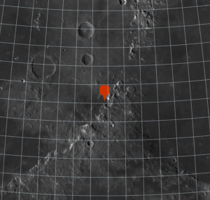
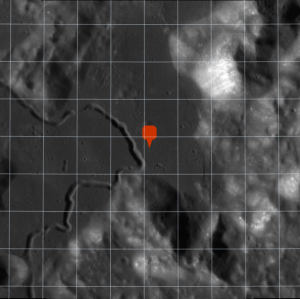
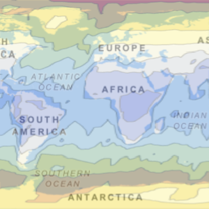
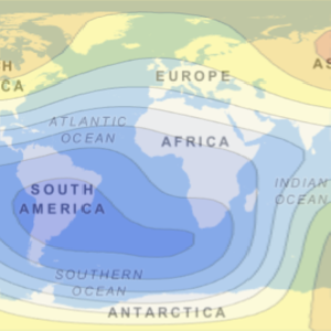
더 가까이 줌인합니다.
In[4]:=
landing =
 Entity["MannedSpaceMission", "Apollo15"][
  EntityProperty["MannedSpaceMission", "LandingPosition"]];
Show[%, GeoRange -> Quantity[200, "Miles"],
 GeoGridLines -> Quantity[2, "AngularDegrees"]];
Show[%, GeoRange -> Quantity[15, "Miles"],
 GeoGridLines -> Quantity[.2, "AngularDegrees"]]
Out[4]=