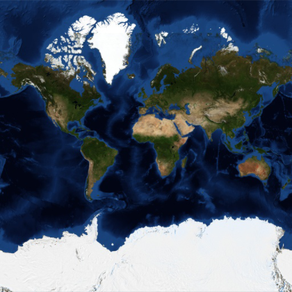
地球用の衛星タイル
処理された衛星画像を使った,地球のメルカトル地図である.
In[1]:=
GeoGraphics["World", GeoProjection -> "Mercator",
 GeoBackground -> "Satellite"]
Out[1]=
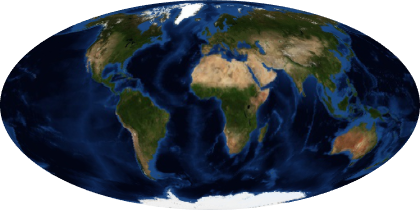
別の投影法を使う.
In[2]:=
GeoGraphics["World", GeoProjection -> "Mollweide",
 GeoBackground -> "Satellite"]
Out[2]=
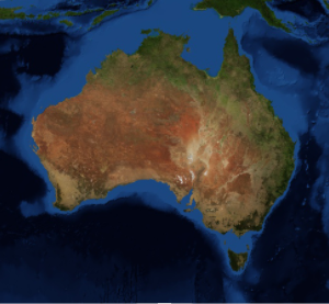
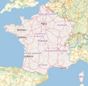
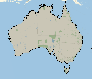
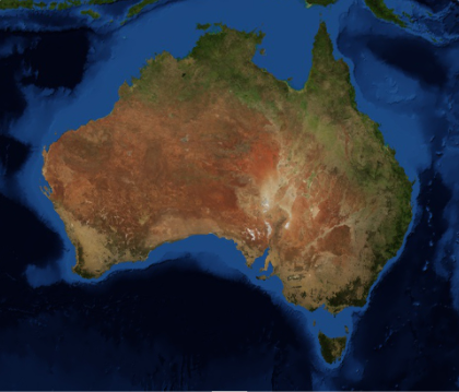
中縮尺地図.
In[3]:=
GeoGraphics[Entity["Country", "Australia"],
 GeoBackground -> "Satellite"]
Out[3]=
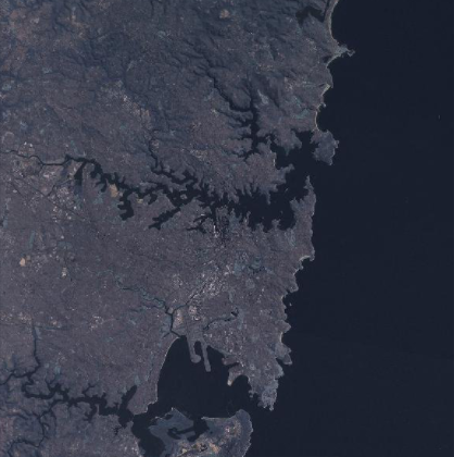
大都市付近の地域にズームインする.
In[4]:=
GeoGraphics[Entity["City", {"Sydney", "NewSouthWales", "Australia"}],
 GeoBackground -> "Satellite"]
Out[4]=