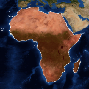
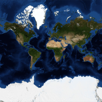
地球的卫星图块
以下为用处理过的卫星图片制作而成的地球的麦卡托地图.
In[1]:=
GeoGraphics["World", GeoProjection -> "Mercator",
 GeoBackground -> "Satellite"]
Out[1]=
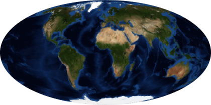
使用不同投影.
In[2]:=
GeoGraphics["World", GeoProjection -> "Mollweide",
 GeoBackground -> "Satellite"]
Out[2]=
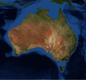
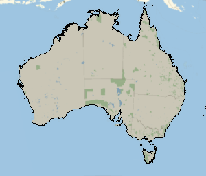
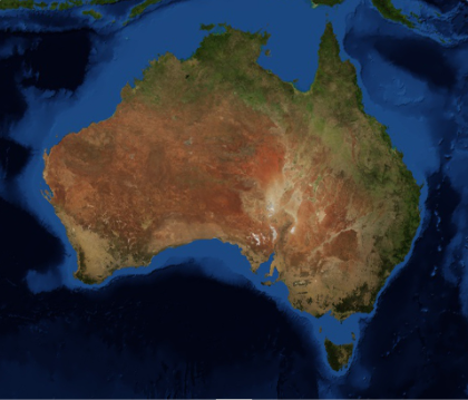
中等尺寸地图.
In[3]:=
GeoGraphics[Entity["Country", "Australia"],
 GeoBackground -> "Satellite"]
Out[3]=
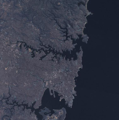
对大城市周边进行放大.
In[4]:=
GeoGraphics[Entity["City", {"Sydney", "NewSouthWales", "Australia"}],
 GeoBackground -> "Satellite"]
Out[4]=