‹›Expansión de la base de conocimientoAnime el ascenso y la caída de países históricos
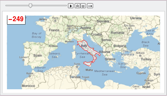
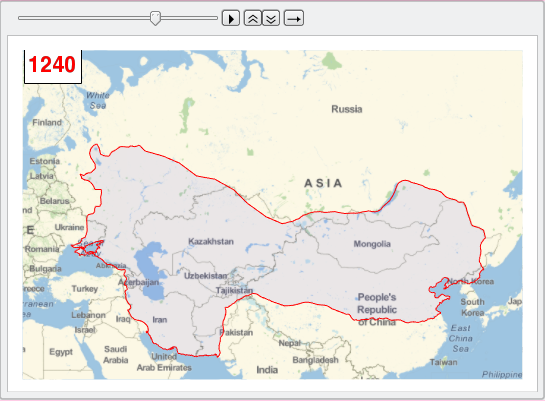
La versión 11 incluye una extensa colección de polígonos para las fronteras de países históricos, los cuales pueden ser utilizados para visualizar el crecimiento (y caída) de muchas naciones e imperios.
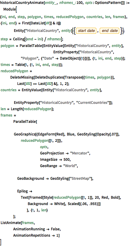
muestre la entrada completa de Wolfram Language
historicalCountryAnimate[entity_, nframes_: 100,
  opts : OptionsPattern[]] := Module[
  {ini, end, step, polygon, times, reducedPolygon, countries, len,
   frames},
   {ini, end} =
   First[DateList[#]] & /@
    Entity["HistoricalCountry",
      entity][{EntityProperty["HistoricalCountry", "StartDate"],
      EntityProperty["HistoricalCountry", "EndDate"]}];
   step = Ceiling[(end - ini) / nframes];
   polygon =
   ParallelTable[EntityValue[Entity["HistoricalCountry", entity],
     				EntityProperty["HistoricalCountry",
      "Polygon", {"Date" -> DateObject[{t}]}]], {t, ini, end, step}];
   times = Table[t, {t, ini, end, step}];
   reducedPolygon =
   DeleteMissing[
    DeleteDuplicates[Transpose[{times, polygon}],
     Last[#1] == Last[#2] &], 1, 2];
   countries = EntityValue[Entity["HistoricalCountry", entity],
    				EntityProperty["HistoricalCountry", "CurrentCountries"]];
   len = Length[reducedPolygon];
   frames =
   	ParallelTable[
    		GeoGraphics[{EdgeForm[Red], Blue, GeoStyling[Opacity[.07]],
      reducedPolygon[[t, 2]]},
     			opts,
     			GeoProjection -> "Mercator",
     			ImageSize -> 500,
     			GeoRange -> "World",
     			GeoBackground -> GeoStyling["StreetMap"],
     			Epilog ->
      Text[Framed[Style[reducedPolygon[[t, 1]], 20, Red, Bold],
        Background -> White], Scaled[{.06, .955}]]
     		], {t, 1, len}
    	];
   ListAnimate[frames,
   	AnimationRunning -> False,
   	AnimationRepetitions -> 1]
]historicalCountryAnimate["RomanRepublic", 100,
GeoRange -> {{30, 50}, {-15, 40}}]historicalCountryAnimate["MongolEmpire", 100,
GeoRange -> {{20, 70}, {20, 140}}]


