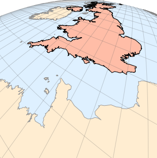
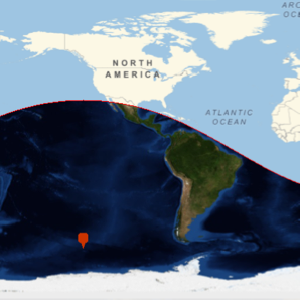
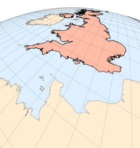
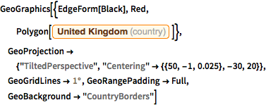
Visualization with a Tilted Perspective Projection
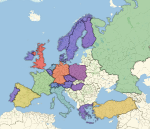
This is a view of the United Kingdom using a tilted perspective projection centered at a point over the English Channel. Height 0.025 is relative to the Earth's radius, and the angles −30 and 20 determine the camera orientation.
In[1]:=
GeoGraphics[{EdgeForm[Black], Red,
  Polygon[Entity["Country", "UnitedKingdom"]]},
 GeoProjection -> {"TiltedPerspective",
   "Centering" -> {{50, -1, 0.025}, -30, 20}},
 GeoGridLines -> Quantity[1, "AngularDegrees"],
 GeoRangePadding -> Full, GeoBackground -> "CountryBorders"]
Out[1]=