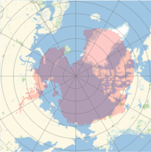
Country Polygon Distortion in the Mercator Projection
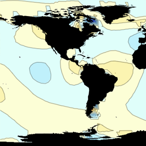
All geo projections distort the curved surface of the Earth when mapping it onto a flat surface. Some projections preserve distances, areas or angles, but none can preserve the three of them. The new functions GeoGridUnitDistance, GeoGridUnitArea and GeoGridDirectionDifference, respectively, describe those forms of distortion for a given geo projection.
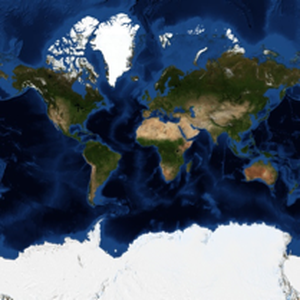
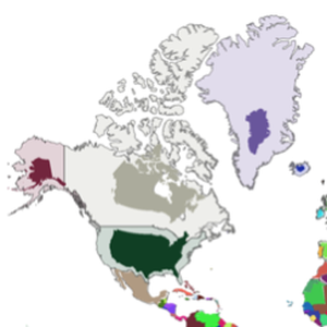
This example will show how the Mercator projection distorts country shapes. Take the list of all countries and Alaska.
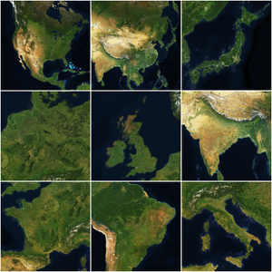
Download the polygon and a central position for each country.
Compute the corresponding projected positions in the Mercator projection.
Draw the polygons with their proper shape and area (computed with the Lambert azimuthal projection, which is equal area), and place them in the Mercator map.
Alternatively, compute a shrinking factor for areas and again place them in the Mercator map, this time preserving the shape.