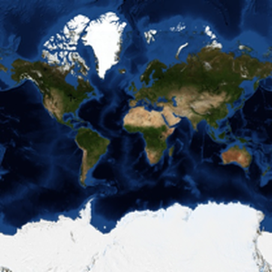
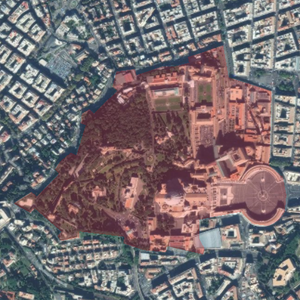
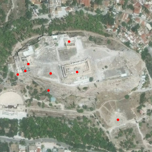
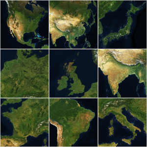
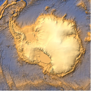
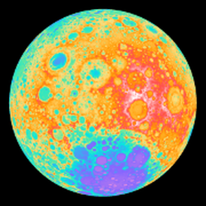
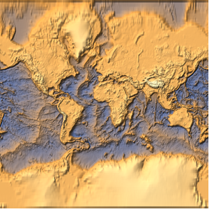
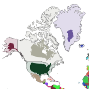
Geo Imagery at Any Scale
Generate satellite geo imagery at any scale, from the whole world to country level and much smaller scales.
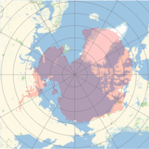
Choose any geo projection for the geo image.
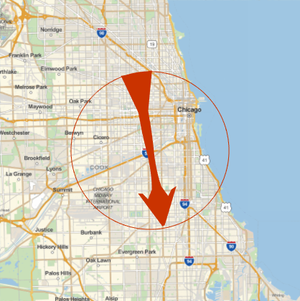
Choose a radius that determines the global range of the geo image.
Choose the average size of a pixel of the image.