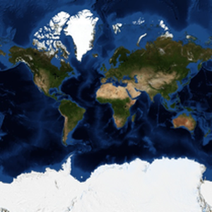
Detailed Control of Geo Images
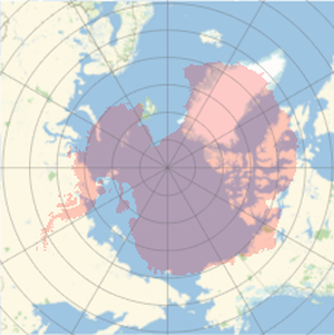
The function GeoImage provides full control of the details of the geo images produced: specify coordinate ranges, geo projection, image dimensions, aspect ratio and many other parameters.
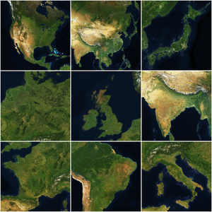
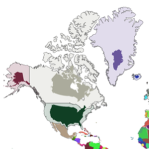
Take the nine countries with the largest GDP.
Download square geo images of the same size for all of them, in the most convenient geo projection, and assemble them in a square grid. Pad each image with two white pixels in each direction.