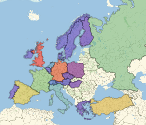
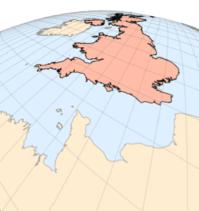
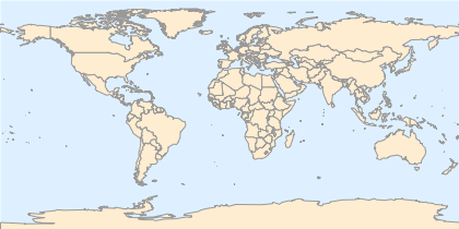
国家边界
使用新的地图轮廓样式 "CountryBorders".
In[1]:=
GeoGraphics["World", GeoBackground -> "CountryBorders"]Out[1]=
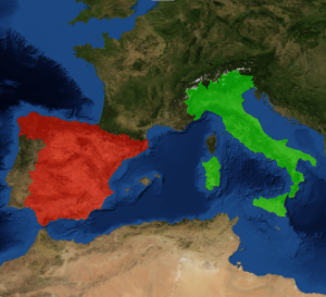
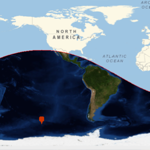
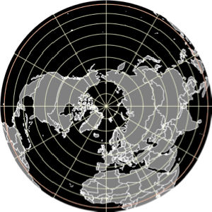
也可以给出其他时间的国家边界. 这是1803年,购买路易斯安那洲之前不久北美的一部分.
In[2]:=
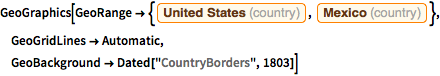
GeoGraphics[
 GeoRange -> {Entity["Country", "UnitedStates"],
   Entity["Country", "Mexico"]}, GeoGridLines -> Automatic,
 GeoBackground -> Dated["CountryBorders", 1803]]
Out[2]=
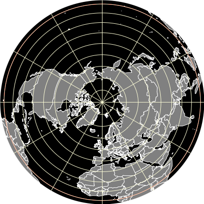
地图样式 "CountryBorders" 可以与其他 GeoGraphics 元素进行组合,它的基本指令也可以修改.
In[3]:=
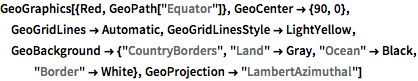
GeoGraphics[{Red, GeoPath["Equator"]}, GeoCenter -> {90, 0},
 GeoGridLines -> Automatic, GeoGridLinesStyle -> LightYellow,
 GeoBackground -> {"CountryBorders", "Land" -> Gray, "Ocean" -> Black,
    "Border" -> White}, GeoProjection -> "LambertAzimuthal"]
Out[3]=