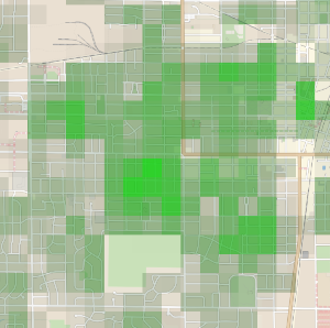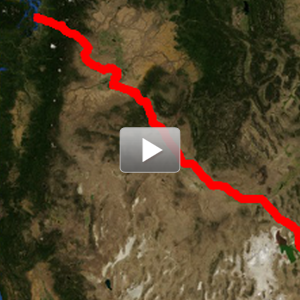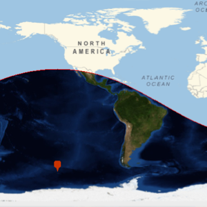
- See more detail on maps by interactively zooming into the map. »
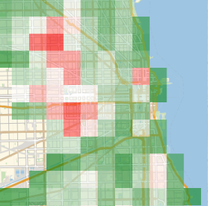
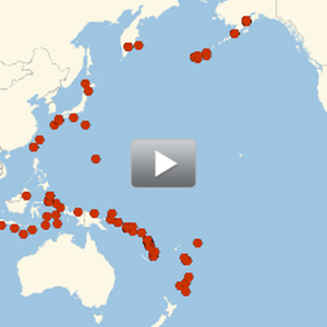
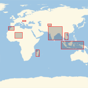
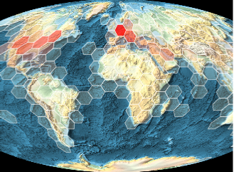
- View the distribution of geo locations by grouping them into color-coded regions. »
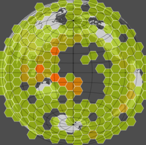
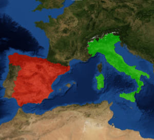
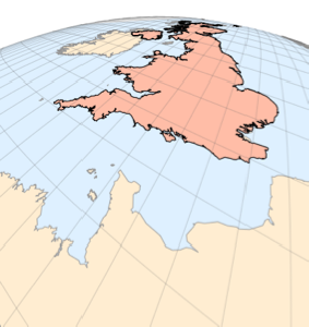
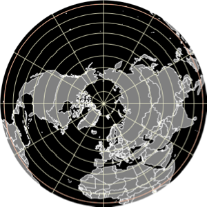
- More than 100 new cartographic projections of different aspects, types, and geometric properties. »
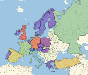
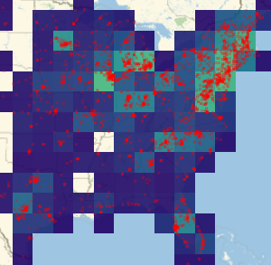
- Combine multiple maps into a new map, re-estimating geo ranges, projection, zoom, etc. if needed.
Related Examples