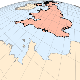
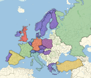
倾斜透视投影可视化
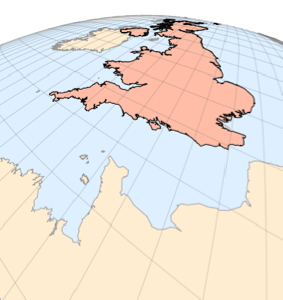
这是以英吉利海峡上空一个点为中心用倾斜透视影看到的英国的图像. 高度 0.025 是相对于地球半径的,角度 −30 和 20 则确定摄像机方向.
In[1]:=
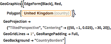
GeoGraphics[{EdgeForm[Black], Red,
  Polygon[Entity["Country", "UnitedKingdom"]]},
 GeoProjection -> {"TiltedPerspective",
   "Centering" -> {{50, -1, 0.025}, -30, 20}},
 GeoGridLines -> Quantity[1, "AngularDegrees"],
 GeoRangePadding -> Full, GeoBackground -> "CountryBorders"]
Out[1]=