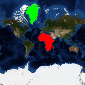
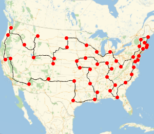
地図投影法
バージョン11は,球および楕円体の準拠モデルの両方について,数百に及ぶ大規模な地図投影法を提供している.これらはいくつかの方法で分類できるが,ここではそのいくつかの投影法の例を見てみる.
In[1]:=
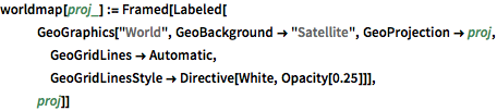
worldmap[proj_] := Framed[Labeled[
   GeoGraphics["World", GeoBackground -> "Satellite",
    GeoProjection -> proj, GeoGridLines -> Automatic,
    GeoGridLinesStyle -> Directive[White, Opacity[0.25]]],
   proj]]
円筒図法.
In[2]:=
worldmap /@ {"Balthasart", "Mercator", "BSAMCylindrical",
  "CylindricalEqualArea"}
Out[2]=
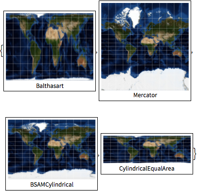
擬円筒図法.
In[3]:=
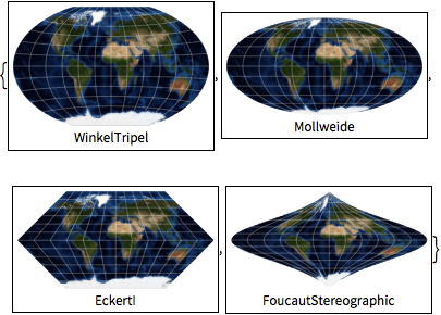
worldmap /@ {"WinkelTripel", "Mollweide", "EckertI",
  "FoucautStereographic"}
Out[3]=
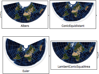
円錐図法.
In[4]:=
worldmap /@ {"Albers", "ConicEquidistant", "Euler",
  "LambertConicEqualArea"}
Out[4]=
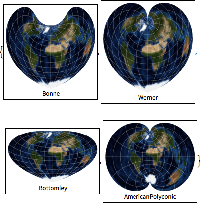
擬円錐図法と多円錐図法.
In[5]:=
worldmap /@ {"Bonne", "Werner", "Bottomley", "AmericanPolyconic"}Out[5]=
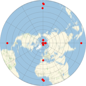
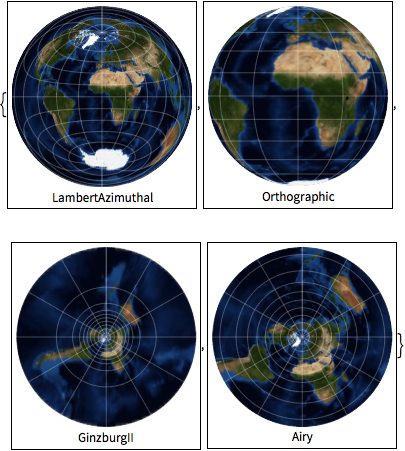
方位図法.
In[6]:=
worldmap /@ {"LambertAzimuthal", "Orthographic", "GinzburgII", "Airy"}Out[6]=
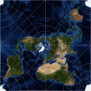
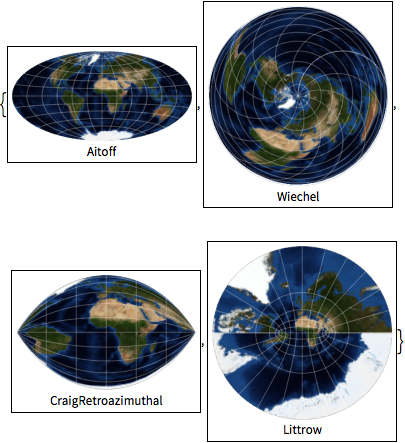
擬方位図法とクレイグ方位図法.
In[7]:=
worldmap /@ {"Aitoff", "Wiechel", "CraigRetroazimuthal", "Littrow"}Out[7]=
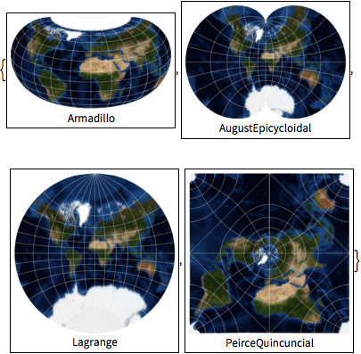
その他の図法.
In[8]:=
worldmap /@ {"Armadillo", "AugustEpicycloidal", "Lagrange",
  "PeirceQuincuncial"}
Out[8]=