GPS Receivers and Elevation
GPS receivers measure positions with respect to a reference oblate ellipsoid approximating the surface of the Earth. However, elevations with respect to the ellipsoid are not of direct practical use: for example, the elevation of the surface of a lake is not constant with respect to the ellipsoid. It needs to be converted to another reference surface, the geoid, which approximates mean sea level and continues it inland.
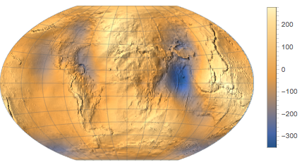
The elevation of the geoid with respect to the reference ellipsoid is called "undulation". Download undulation data in feet for the conterminous United States.
undulation =
GeoElevationData[Entity["Country", "UnitedStates"], "Undulation"]The geoid is always under the reference ellipsoid in the US area.
MinMax[undulation]In particular, this is the undulation at Wolfram headquarters in Champaign, IL.
GeoElevationData[
 GeoPosition[
  Entity["City", {"Champaign", "Illinois",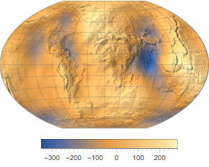
"UnitedStates"}]], "Undulation"]Download data for the whole world.
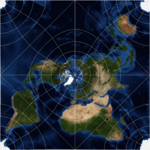
undulation = GeoElevationData["World", "Undulation"]Represent the data as a relief map.
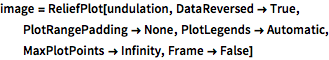
image = ReliefPlot[undulation, DataReversed -> True,
  PlotRangePadding -> None, PlotLegends -> Automatic,
  MaxPlotPoints -> Infinity, Frame -> False]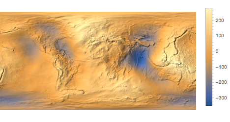
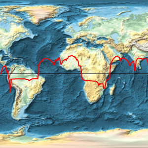
Use a different geo projection.
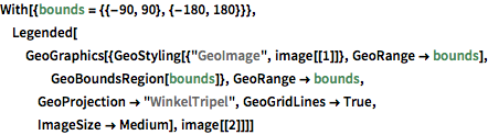
With[{bounds = {{-90, 90}, {-180, 180}}},
 Legended[GeoGraphics[{GeoStyling[{"GeoImage", image[[1]]},
     GeoRange -> bounds], GeoBoundsRegion[bounds]},
   GeoRange -> bounds, GeoProjection -> "WinkelTripel",
   GeoGridLines -> True, ImageSize -> Medium], image[[2]]]]