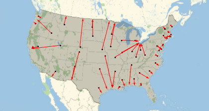
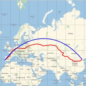
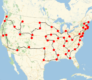
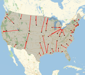
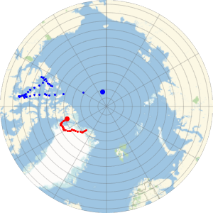
国境までの最短経路
アメリカの隣接する州の各州都から,アメリカの国境の任意の点までの最短経路を求める.
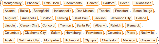
州都のリストを得る.
In[1]:=

capitals =
 EntityValue[
  EntityClass["AdministrativeDivision", "ContinentalUSStates"],
  "CapitalCity"]
Out[1]=
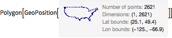
アメリカの多角形を得る.
In[2]:=
us = EntityValue[Entity["Country", "UnitedStates"], "Polygon"]Out[2]=
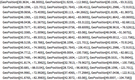
それぞれの州都について,多角形の境界上の一番近い点を計算する.
In[3]:=
borderpoints = Flatten[Nearest[First[us], GeoPosition[capitals]]]Out[3]=
すべての測地経路を描画する.
In[4]:=
GeoGraphics[{us, Point[capitals], Red, Arrowheads[0.015],
  Arrow /@ GeoPath /@ Thread[{capitals, borderpoints}]}]
Out[4]=