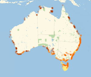
Retrieve UV Index Data for Local Beaches
In addition to basic geographic information, it is possible to retrieve current UV index values for "Beach" entities.
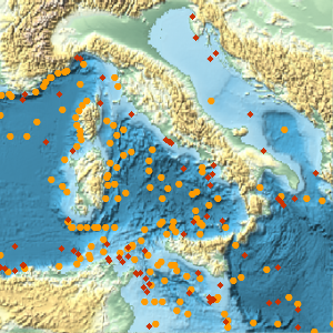
From an implicit entity class of beaches in a given region, generate a map showing UV index values for all beach entities.
Given a specific city, you can create a local map more clearly showing UV index values for individual beaches. First, retrieve the data.
developer preferences
Then make a function that maps a specific UV index value to a color.
Finally, plot everything with GeoGraphics.