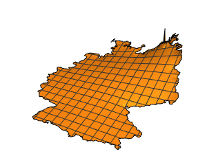
Create a Mesh Region from Geographic Data
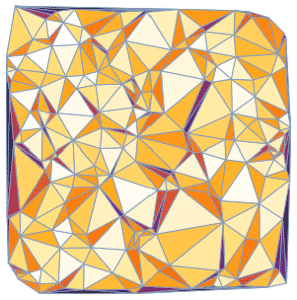
Using VoronoiMesh, divide the area around Italy into cells that represent the regions closest to each major city.
| In[1]:= | X |
Generate Voronoi mesh from city coordinates.
| In[2]:= | X |
| Out[2]= | 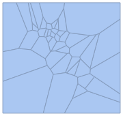 |
The closest city at any point is the one contained in the corresponding cell.
| In[3]:= |  X |
| Out[3]= | 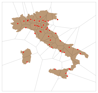 |