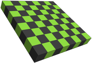
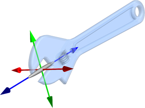
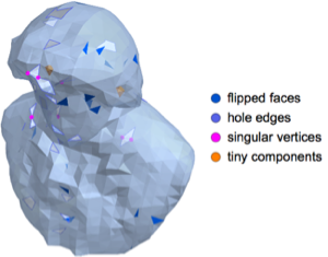
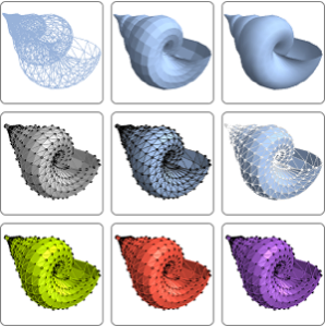
데이터로 부터의 메쉬
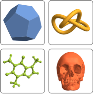
버전 11은 Wolfram 언어에서의 사용을 위해 특별히 체계화하여 생성된 다면체, 매듭, 생체 구조, 기하학적 특징 등 엄청난 양의 정선된 3D 기하학적 모델에 직접 액세스를 제공합니다.
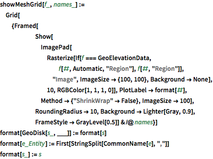
PolyhedronData를 살펴봅니다.
전체 Wolfram 언어 입력 표시하기
In[2]:=
showMeshGrid[PolyhedronData, {"Dodecahedron", "SnubCube",
  "Echidnahedron", "CumulatedCube"}]
Out[2]=
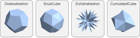
KnotData를 살펴봅니다.
In[3]:=
showMeshGrid[KnotData, {"Trefoil", "FigureEight", "SolomonSeal",
  "Stevedore"}]
Out[3]=
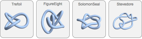
ChemicalData를 살펴봅니다.
In[4]:=
showMeshGrid[ChemicalData, {"Water", "Caffeine", "SulfuricAcid",
  "DTyrosine"}]
Out[4]=
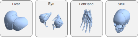
AnatomyData를 살펴봅니다.
In[5]:=
showMeshGrid[AnatomyData, {"Liver", "Eye", "LeftHand", "Skull"}]Out[5]=
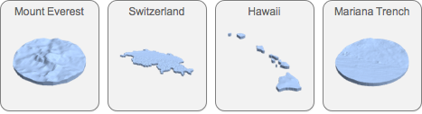
GeoElevationData를 살펴봅니다.
In[6]:=
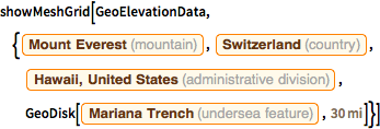
showMeshGrid[GeoElevationData, {Entity["Mountain", "MountEverest"],
  Entity["Country", "Switzerland"],
  Entity["AdministrativeDivision", {"Hawaii", "UnitedStates"}],
  GeoDisk[Entity["UnderseaFeature", "MarianaTrench"],
   Quantity[30, "Miles"]]}]
Out[6]=