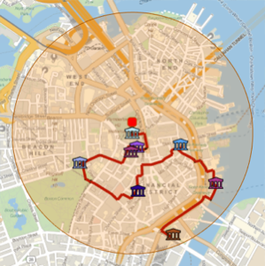
生成著名建筑的徒步游览图
使用 GeoNearest 提取波士顿市政厅半径 1 公里周围的著名建筑.
In[1]:=
position = Entity["Building", "BostonCityHall::96t3t"];
radius = Quantity[1, "Kilometers"];
In[2]:=
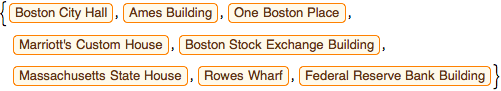
nearMe = GeoNearest["Building", position, {All, radius}]Out[2]=
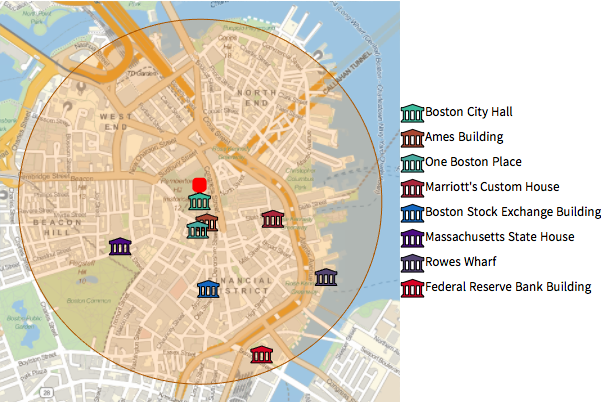
使用内置图标实体,在当地地图上绘制这些建筑物.
显示完整的 Wolfram 语言输入
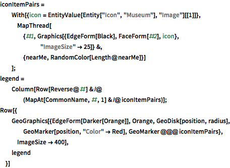
Out[3]=
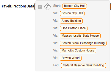
使用 TravelDirections 计算这些实体的徒步游览线路.
In[4]:=
tourPlaces = Prepend[nearMe, position];In[5]:=
{distance, tourPath} =
 FindShortestTour[GeoPosition /@ tourPlaces, 1, Length@tourPlaces]
Out[5]=
In[6]:=
travelDirectionsForPath =
 TravelDirections[tourPlaces[[tourPath]], TravelMethod -> "Walking"]
Out[6]=
显示完整的 Wolfram 语言输入
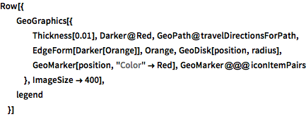
Out[7]=
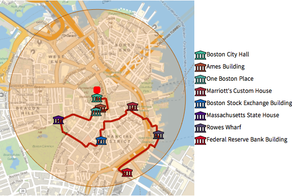
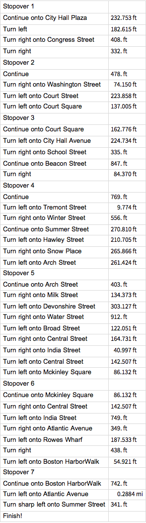
这是如何走这条路线的详细说明.
In[8]:=
travelDirectionsForPath["ManeuverGrid"]Out[8]=