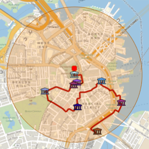
Generate a Walking Tour of Notable Buildings
Use GeoNearest to retrieve notable buildings in a radius of 1 km around Boston City Hall.
In[1]:=
position = Entity["Building", "BostonCityHall::96t3t"];
radius = Quantity[1, "Kilometers"];
In[2]:=
nearMe = GeoNearest["Building", position, {All, radius}]Out[2]=

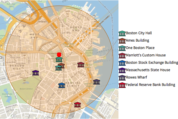
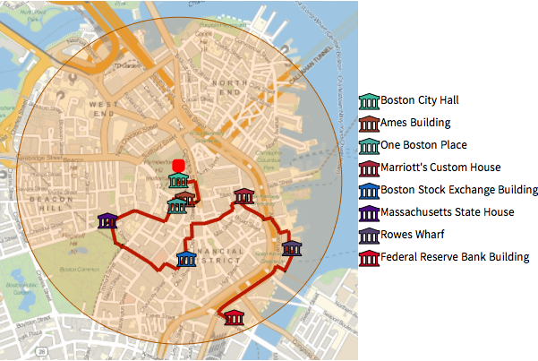
Plot those buildings on a local map, using built-in icon entities.
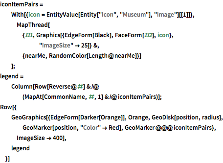
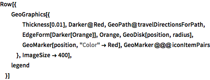
show complete Wolfram Language input
Out[3]=
Use TravelDirections to compute a walking tour of those entities.
In[4]:=
tourPlaces = Prepend[nearMe, position];In[5]:=
{distance, tourPath} =
 FindShortestTour[GeoPosition /@ tourPlaces, 1, Length@tourPlaces]
Out[5]=
In[6]:=
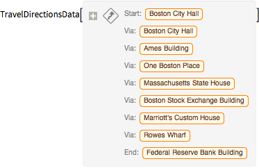
travelDirectionsForPath =
 TravelDirections[tourPlaces[[tourPath]], TravelMethod -> "Walking"]
Out[6]=
show complete Wolfram Language input
Out[7]=
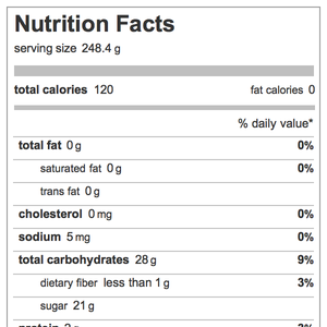
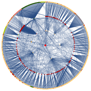
These are detailed instructions on how to follow that path.
In[8]:=
travelDirectionsForPath["ManeuverGrid"]Out[8]=