Import and Interpret Skyscraper Data
Make a map showing locations and images of the world's tallest buildings.
Here is a file with building data in tabular form.
| In[1]:= | X |
 |
Import the data, interpreting names of countries and cites to yield computable Entity objects.
| In[2]:= | 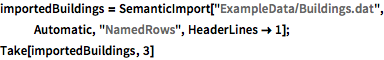 X |
| Out[2]= | 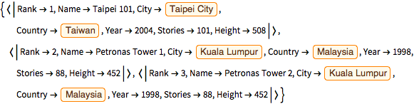 |
Interpret building names to get computable Entity objects, filtering out those that cannot be translated.
| In[3]:= | 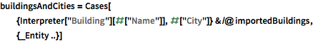 X |
| Out[3]= | 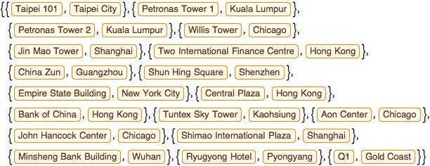 |
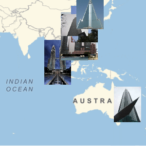
Select the buildings that have images and get their geographic coordinates.
| In[4]:= |  X |
Place the building images on a world map by geographic coordinates.
| In[5]:= |  X |
| Out[5]= | 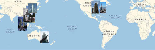 |