基于实体的地理计算
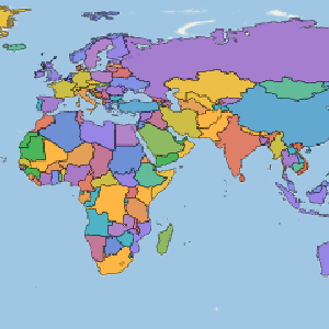
The Wolfram Language introduces a full Geographic Information System (GIS). It integrates the powerful new GeoGraphics function for map construction, the new Entity framework to access the large corpus of information in Wolfram|Alpha, and improved functionality for geodetic computations. This allows construction of a very large variety of maps—in any cartographic projection and including the representation of results of arbitrary computations—with any type of geographic data.
- 支持从 "Country"、"City" 或 "AdministrativeDivision" 到 "Park"、 "BroadcastStation" 或 "Airport" 等种类广泛的地理 Entity 类型.
- 访问与这些实体的地理学、人口统计学、经济学等相关的数百种属性.
- 在地球表面的高精度测地学计算中,包括完全整合的 Entity 对象的距离和角度的计算、测地线和恒向线以及更多. 支持如 "ITRF00"、"WGS84" 或 "NAD27" 的标准椭圆体基准面.
- 通过使用 GeoGraphics 生成地图的统一方法,在范围、投影、缩放比例、地图样式、地理基元以及更多的选择上提供完全自动化和自由度.
- 支持可自由调整参数的标准制图投影. 支持如 UTM/UPS 地区或美国 SPCS83S 集合的地球标准坐标系统.
- 对使用单位 Quantity 对象指定距离、面积、角度、时间等的完全整合.
- 支持移动 Entity 对象(如卫星)或时间相关的地理基元(如昼夜晨昏线)的位置属性.
- GeoGraphics 还支持除地球以外的天体图.
- 使用近似测试、包含测试以及更多强大的地理查找算法,通过内置和用户定义对扩展区域和点性规范进行本机处理.
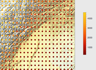
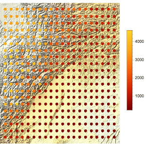
- 访问完整的地球高程数据,可方便地生成地形图.
Related Examples
 Display the World's Most Common Languages by Country »
 Find a Four-Coloring of a Map of Europe »
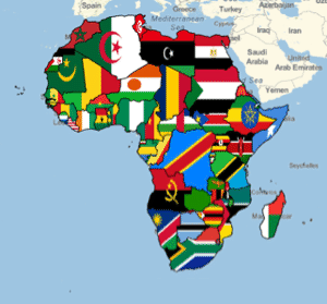 Map the Countries of Africa with Their Flags »
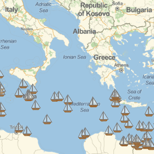 Map the Locations of Shipwrecks »
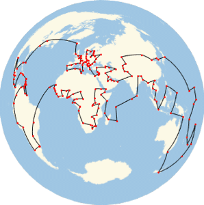 Find the Shortest Route through the World's Capitals »
 Find Countries along a Path »
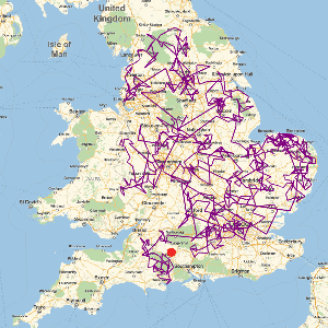 Use a Levy Flight to Find Stonehenge in England »
 Explore the Earth's Curvature »
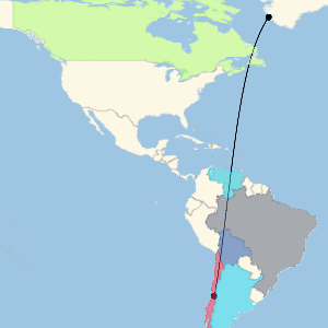
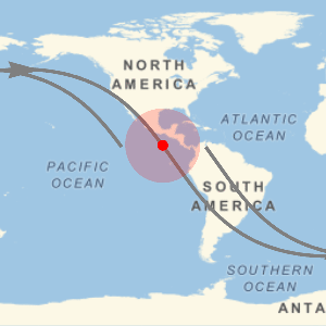
 Follow a Random Path on the Earth »
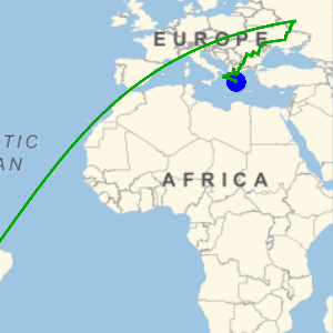
 See What the International Space Station Can See »
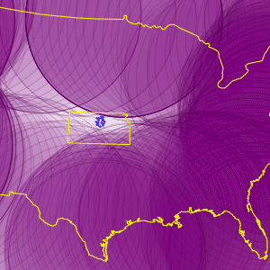
 Compare Ratios of Crime and Voting in the United States »
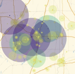
 Find the Most Interior Point in the United States »


相关函数Entity  EntityValue GeoBoundingBox GeoBounds GeoCircle GeodesyData GeoDestination GeoDirection GeoDistance GeoDisk GeoDisplacement GeoElevationData GeoEntities GeoGraphics GeoGridPosition GeoIdentify GeoModel GeoNearest GeoPath GeoPosition GeoPositionENU GeoPositionXYZ GeoProjection GeoProjectionData GeoRange GeoVisibleRegion GeoVisibleRegionBoundary GeoWithinQ
EntityValue GeoBoundingBox GeoBounds GeoCircle GeodesyData GeoDestination GeoDirection GeoDistance GeoDisk GeoDisplacement GeoElevationData GeoEntities GeoGraphics GeoGridPosition GeoIdentify GeoModel GeoNearest GeoPath GeoPosition GeoPositionENU GeoPositionXYZ GeoProjection GeoProjectionData GeoRange GeoVisibleRegion GeoVisibleRegionBoundary GeoWithinQ相关指南


