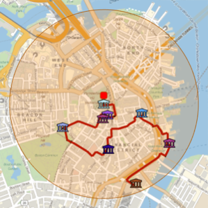
Trace um passeio a pé de edifícios famosos
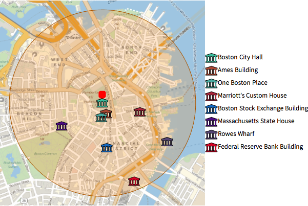
Use GeoNearest para extrair edifícios famosos em um raio de 1 km ao redor da prefeitura de Boston.
In[1]:=
position = Entity["Building", "BostonCityHall::96t3t"];
radius = Quantity[1, "Kilometers"];
In[2]:=
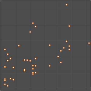
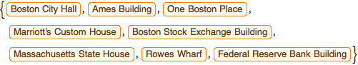
nearMe = GeoNearest["Building", position, {All, radius}]Out[2]=
Faça uma representaçãp gráfica desses edifícios em um mapa local, usando os ícones de entidades integrados.
mostre o input completo da Wolfram Language
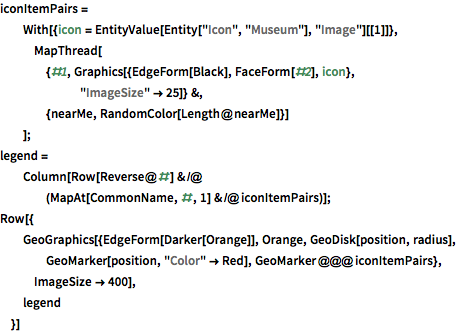
Out[3]=
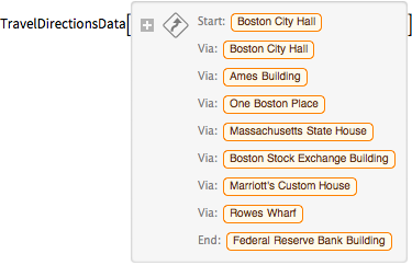
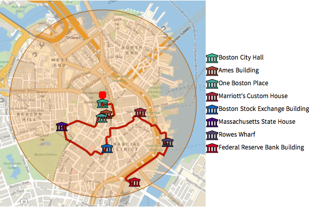
Use TravelDirectionspara calcular um passeio a pé por essas entidades.
In[4]:=
tourPlaces = Prepend[nearMe, position];In[5]:=
{distance, tourPath} =
 FindShortestTour[GeoPosition /@ tourPlaces, 1, Length@tourPlaces]
Out[5]=
In[6]:=
travelDirectionsForPath =
 TravelDirections[tourPlaces[[tourPath]], TravelMethod -> "Walking"]
Out[6]=
mostre o input completo da Wolfram Language
Out[7]=
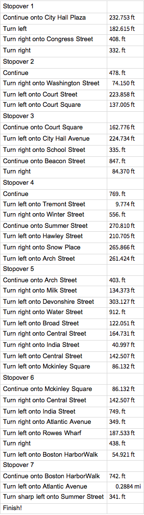
Estas são instruções detalhadas sobre como fazer a rota.
In[8]:=
travelDirectionsForPath["ManeuverGrid"]Out[8]=