Wolfram Geography Documentation
Wolfram Geography is an integrated part of Wolfram Language. The full system contains over 6,000 built-in functions covering all areas of computation—all carefully integrated so they work perfectly together.
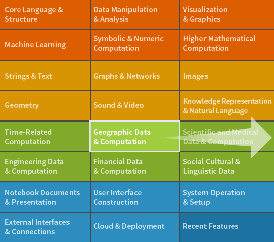
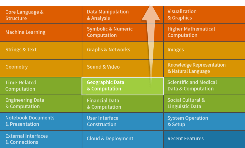
Full Scope & Documentation
 Guide
Guide Guide
Guide Guide
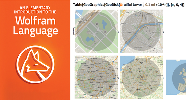
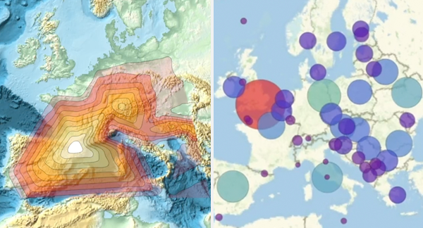
GuideGeoPosition ▪ GeoDistance ▪ GeoDirection ▪ GeoLength ▪ GeoArea ▪ GeoGraphics ▪ DynamicGeoGraphics ▪ GeoImage ▪ GeoPolygon ▪ GeoPath ▪ GeoMarker ▪ TravelDirections ▪ GeoDestination ▪ GeoDisplacement ▪ GeoDisk ▪ GeoCircle ▪ GeoHemisphere ▪ GeoHemisphereBoundary ▪ GeoVisibleRegion ▪ GeoVisibleRegionBoundary ▪ DayHemisphere ▪ NightHemisphere ▪ DayNightTerminator ▪ GeoBoundary ▪ GeoNearest ▪ GeoEntities ▪ GeoIdentify ▪ GeoWithinQ ▪ Here ▪ FindGeoLocation ▪ $GeoLocation ▪ $GeoLocationCity ▪ $GeoLocationCountry ▪ GeoLocation ▪ GeoAntipode ▪ RandomGeoPosition ▪ GeoPositionXYZ ▪ GeoGridPosition ▪ GeoPositionENU ▪ GeoVector ▪ GeoVectorXYZ ▪ GeoGridVector ▪ GeoVectorENU ▪ GeoListPlot ▪ GeoRegionValuePlot ▪ GeoHistogram ▪ GeoSmoothHistogram ▪ GeoVectorPlot ▪ GeoStreamPlot ▪ GeoGraphPlot ▪ GeoGraphValuePlot ▪ GeoContourPlot ▪ GeoDensityPlot ▪ GeodesyData ▪ GeoElevationData ▪ GeoProjectionData ▪ GeoRange ▪ GeoRangePadding ▪ GeoCenter ▪ GeoProjection ▪ GeoZoomLevel ▪ GeoResolution ▪ GeoGridRange ▪ GeoGridRangePadding ▪ GeoModel ▪ GeoBackground ▪ GeoServer ▪ GeoGridLines ▪ GeoGridLinesStyle ▪ GeoScaleBar ▪ GeoLabels ▪ GeoArraySize ▪ GeoDistanceList ▪ GeoBounds ▪ GeoBoundingBox ▪ GeoGridUnitDistance ▪ GeoGridUnitArea ▪ GeoGridDirectionDifference ▪ TravelDistance ▪ TravelTime ▪ TravelMethod ▪ GeoStyling ▪ GeoStylingFunction ▪ GeoVariant ▪ GeoGroup ▪ GeogravityModelData ▪ GeomagneticModelData ▪ GeologicalPeriodData ▪ CountryData ▪ CityData ▪ AdministrativeDivisionData ▪ GeoBubbleChart ▪ Quantity ▪ DMSString ▪ DMSList ▪ FromDMS ▪ Point ▪ Line ▪ Arrow ▪ Polygon ▪ Disk ▪ Circle ▪ Style ▪ Red ▪ RGBColor ▪ Opacity ▪ EdgeForm ▪ Thickness ▪ Dashing ▪ GeoBoundsRegion ▪ GeoBoundsRegionBoundary ▪ Text ▪ Tooltip ▪ PopupWindow ▪ Mouseover ▪ Image ▪ GeoStylingImageFunction ▪ Entity ▪ WeatherData ▪ AirTemperatureData ▪ LocalTime ▪ Sunrise ▪ TravelDistanceList ▪ Import ▪ PointValuePlot ▪ SemanticInterpretation ▪ Interpreter ▪ CommonName ▪ EntityClass ▪ EntityList ▪ WikipediaSearch ▪ LocalTimeZone ▪ GeoOrientationData ▪ WikipediaData ▪ WeatherForecastData ▪ EarthquakeData ▪ PlanetData ▪