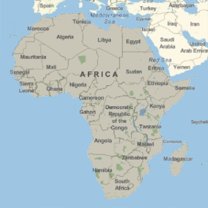
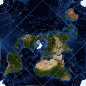
투영법에 의한 면적의 변형
메르카토르 도법은 면적을 보존하지 않습니다. 이것은 등면적 투영이 아닙니다.
In[1]:=
GeoProjectionData["Mercator", "EqualArea"]Out[1]=
아프리카의 면적은 그린랜드 면적보다 14배 더 큽니다.
In[2]:=
GeoArea[Entity["GeographicRegion", "Africa"]]/
 GeoArea[Entity["Country", "Greenland"]]
Out[2]=
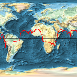
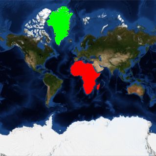
그러나 메르카토르 도법에서는 아프리카와 그린랜드가 거의 같은 크기로 보입니다.
In[3]:=
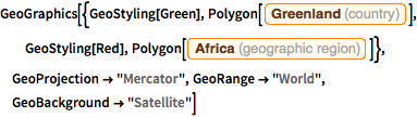
GeoGraphics[{GeoStyling[Green],
  Polygon[Entity["Country", "Greenland"]], GeoStyling[Red],
  Polygon[Entity["GeographicRegion", "Africa"]]},
 GeoProjection -> "Mercator", GeoRange -> "World",
 GeoBackground -> "Satellite"]
Out[3]=
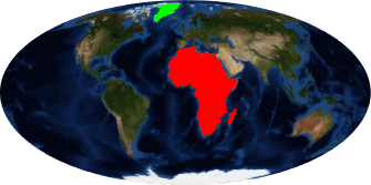
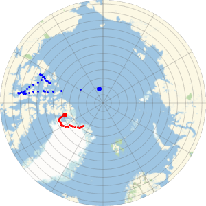
몰바이데 도법과 같은 등면적 투영을 사용하면 면적의 상대적 크기를 더 잘 나타낼 수 있습니다.
In[4]:=
GeoProjectionData["Mollweide", "EqualArea"]Out[4]=
In[5]:=
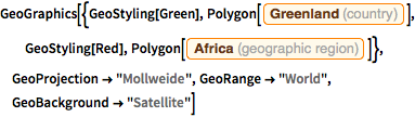
GeoGraphics[{GeoStyling[Green],
  Polygon[Entity["Country", "Greenland"]], GeoStyling[Red],
  Polygon[Entity["GeographicRegion", "Africa"]]},
 GeoProjection -> "Mollweide", GeoRange -> "World",
 GeoBackground -> "Satellite"]
Out[5]=