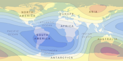
Earth's Magnetic Field
Represent the magnitude of the geomagnetic field across the entire planet.
In[1]:=
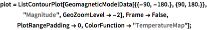
plot = ListContourPlot[
   GeomagneticModelData[{{-90, -180.}, {90, 180.}}, "Magnitude",
    GeoZoomLevel -> -2], Frame -> False, PlotRangePadding -> 0,
   ColorFunction -> "TemperatureMap"];
In[2]:=
GeoGraphics[{GeoStyling[{"GeoImage", plot}], Opacity[0.4],
  Polygon[GeoPosition[{{-90, -180}, {90, -180}, {90, 180}, {-90,
      180}}]]}]
Out[2]=