Générez une visite à pied des bâtiments remarquables
Utilisez GeoNearest pour récupérer les bâtiments remarquables dans un rayon de 1 km autour de Boston City Hall.
In[1]:=
position = Entity["Building", "BostonCityHall::96t3t"];
radius = Quantity[1, "Kilometers"];
In[2]:=
nearMe = GeoNearest["Building", position, {All, radius}]Out[2]=

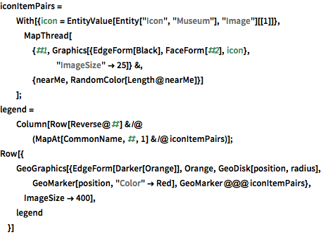
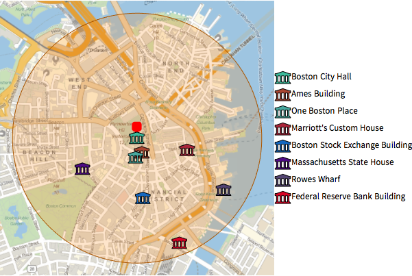
Tracez ces bâtiments sur une carte locale en utilisant des entités d'icônes intégrées.
Afficher l'entrée complète de Wolfram Language
Out[3]=
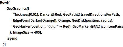
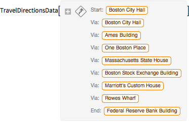
Utilisez TravelDirections pour calculer une visite à pied de ces entités.
In[4]:=
tourPlaces = Prepend[nearMe, position];In[5]:=
{distance, tourPath} =
 FindShortestTour[GeoPosition /@ tourPlaces, 1, Length@tourPlaces]
Out[5]=
In[6]:=
travelDirectionsForPath =
 TravelDirections[tourPlaces[[tourPath]], TravelMethod -> "Walking"]
Out[6]=
Afficher l'entrée complète de Wolfram Language
Out[7]=
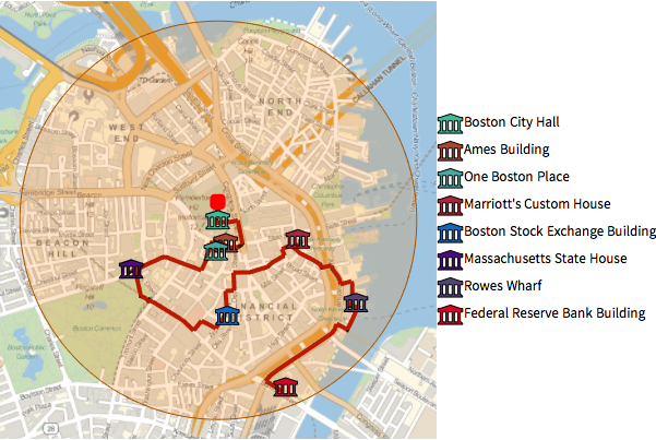
Voici des consignes détaillées sur la façon de suivre ce chemin.
In[8]:=
travelDirectionsForPath["ManeuverGrid"]Out[8]=

